Last updated on May 20th, 2026
The Sheyenne River Valley Scenic Byway wanders south and east out of Valley City to Lisbon in eastern North Dakota. Last summer we followed a portion of it as far south as Fort Ransom.
The sun was already low in the sky, all bright hot glare when we left Valley City to drive through fields of recently harvested hay.

I have a lovely map that shows where the byway goes, but still we miss the turn onto the gravel road at Kathryn.
We pick it up again a little farther along.

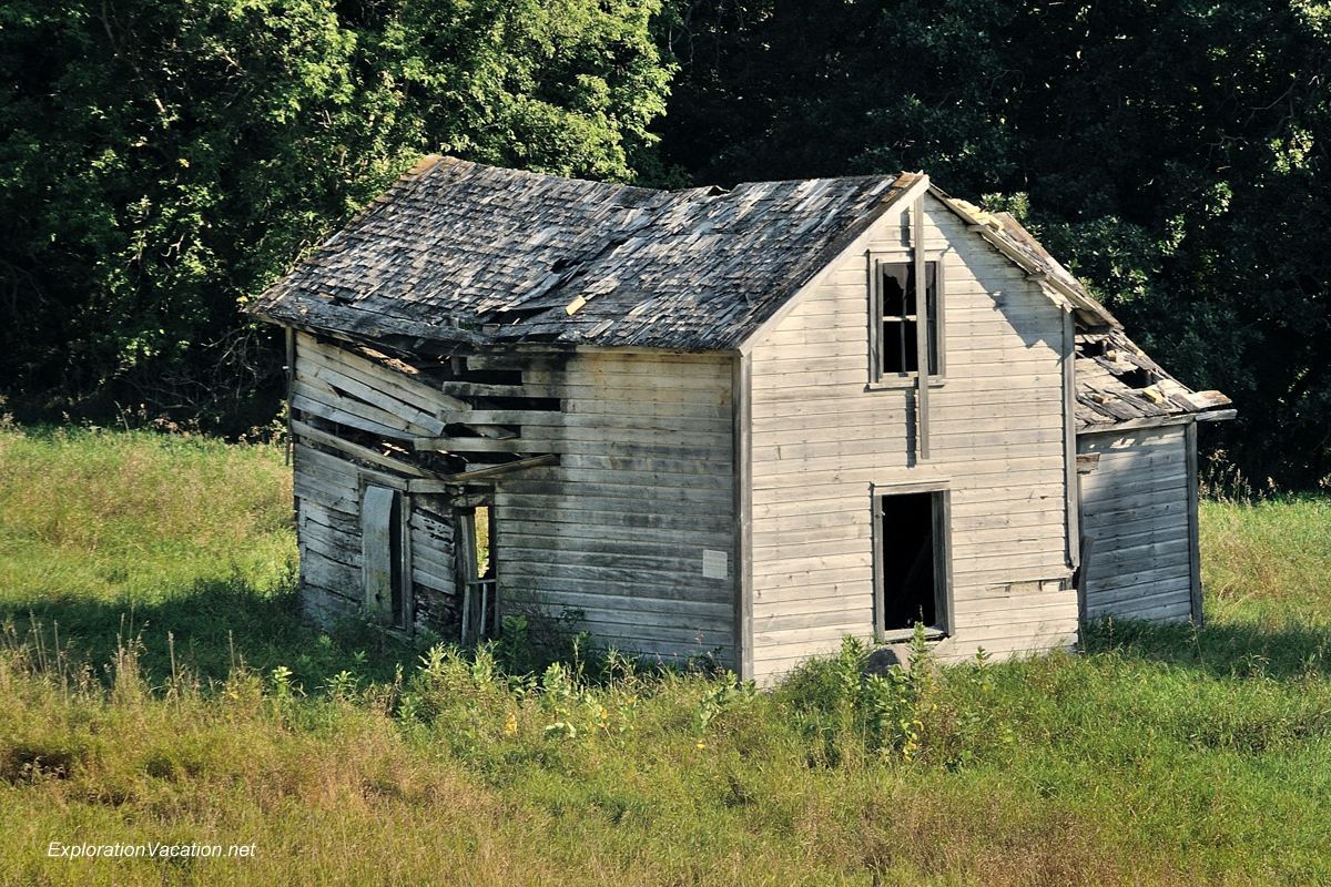
We are along the river valley now, following a swooping dirt road beneath overhanging trees. There are farmsteads here and there, a few inhabited many that have been long abandoned.
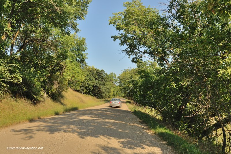


Eventually we are back on what seems to be the byway. There are signs for Fort Ransom State Park, but they don’t seem to match my map. There are no signs showing the way to the city itself, which is supposed to be near the park.
I’m not sure where to go, so we continue on. Soon enough it is clear that we are headed the wrong direction. Without a compass I have no idea where we are, let alone which way to turn now that we have left the river valley. We have entered an area overlaid with a grid of gravel roads that run straight, orderly, and perfect in each direction every mile. There are no road signs or signs of any sort. We are on roads that are for those who have lived here all their lives and have no need for signs to find their way.
We stop and watch a hawk waiting in the grass along the road.
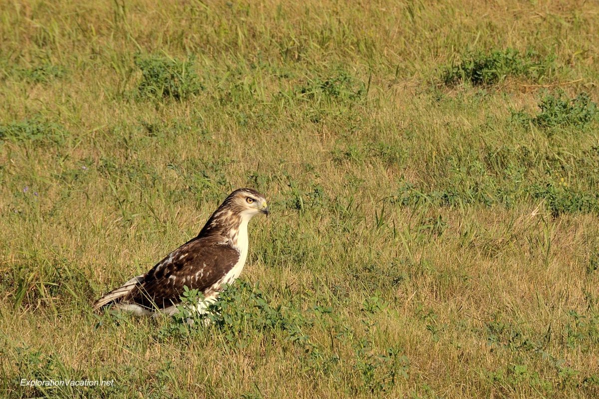
At last the hawk flies off.
And we need to be off as well. Soon it will be dark.
We need to find Fort Ransom.
Trees in Fort Ransom State Park
All North Dakota posts