Last updated on March 21st, 2024
The day’s plan includes a drive to the end of the Gunflint Trail.
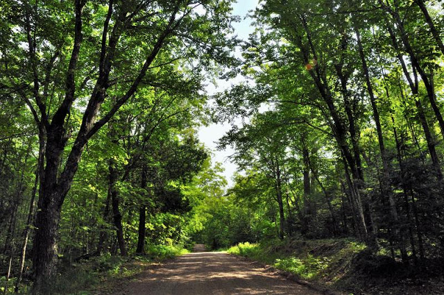
From where we are, this is still quite a distance to cover in a day. None-the-less, we map out a round-about route along narrow back roads instead of simply shooting up the highway to Grand Marias and over. While a slower way to reach our destination, it has the advantage of providing us gorgeous views of Caribou Peak, Heartbreak Hill (where Lane and I visited during leaf season one fall), and the fields of flowers along the Caribou Trail.


About this point we realize we have made a little miscalculation in our route planning and that the road we were planning to take won’t actually connect to the Gunflint.
Opps.
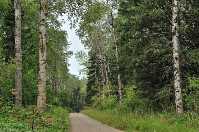
A new route is identified. It involves a fair amount of backtracking, but also takes us along the top of a ridge where the forest drops sharply away from us on both sides. I can’t figure out how to photograph it, but it makes for a marvelous drive.
Next post: The End of the Gunflint Trail